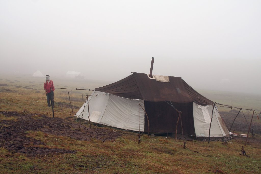
Up Ron & Marjolijn's holiday pictures » 2006-09 China-Tibet » 07-Xiahe to Xining Prev Next Slideshow

 At first page  Next image  Index page  Original Image [01-Nomads tent.jpg - 687kB]


  01-Nomads tent.jpg - Nomads tent  
02-Cold and misty
03-Shepherdess
04-Sheep after the pass
05-A tributary river of Yellow River
06-The löss mountains in the basin of the Yellow River
07-A mural along a tributary river of Yellow River
08-The river is saturated with löss
09-Basin in the Yellow River
10-Basin in the Yellow River
11-A special soup for lunch
12-A pubilc toilet, looks good but isn't
13-This is also a muslim village

Nomads tent Download Original Image
Latitude: N 35°28'18,17" | Longitude: E 102°19'51,43" | Altitude: 3628 metres | Location: Pass at the end of the grassland | City: Tongren | State/Province: Qinghai | Country: China | Copyright: Ron Harkink | See map
Total images: 16 | Help